So far during our summer in Colorado, we've adventured west to Grand Junction, south to Buena Vista, and east to the Sand Dunes, so we decided it was time to head north to hike and camp on the Front Range. Having lived in Denver for eight years before becoming full-time RVers, Kenny and I were pretty familiar with hiking and camping in the area and were excited to see some old familiar places.
I looked in my book Best Dog Hikes Colorado and chose to hike Mount Audubon, a 13er in the Indian Peaks Wilderness that begins in the Brainard Recreation Area. From past experience, we knew that Brainard, due to its close proximity to Boulder and Denver, was always a busy place, and decided to look for a quiet campsite for the night outside of the rec area near Nederland on Forest Service land.
First, we tried a spot we'd camped at before during our Denver days. On the forest service road on the way to Rainbow Lakes Recreation Area, there are five or so dispersed campsites where we'd always found a spot. On this Monday afternoon, they were all full. So, we continued down the road to the Rainbow Lakes Recreation Area to checkout the pay sites. We spoke to the camp host, and they were full, except for two walk-in tent sites, which we could have done, but didn't feel like dishing out $24 to pitch a tent.
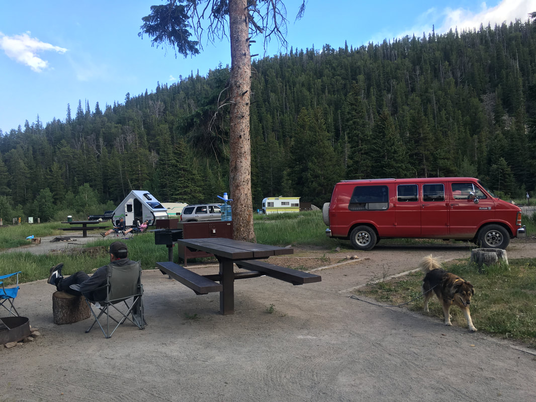
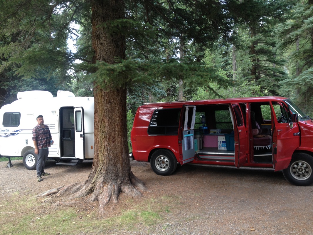
So we continued north to see if Brainard Rec Area had any available sites, but because of spring runoff, their campground wasn't even open until the coming Friday. SO, we kept driving north on the Peak to Peak Highway (not a bad place to be driving aimlessly), until we ran into the Peaceful Valley and Camp Dick Campgrounds. There, we scored the last campsite in the Peaceful Valley loop. It wasn't exactly free or secluded, but it was a place to park and only ten miles from the trailhead we'd be starting out on in the morning.
I looked in my book Best Dog Hikes Colorado and chose to hike Mount Audubon, a 13er in the Indian Peaks Wilderness that begins in the Brainard Recreation Area. From past experience, we knew that Brainard, due to its close proximity to Boulder and Denver, was always a busy place, and decided to look for a quiet campsite for the night outside of the rec area near Nederland on Forest Service land.
First, we tried a spot we'd camped at before during our Denver days. On the forest service road on the way to Rainbow Lakes Recreation Area, there are five or so dispersed campsites where we'd always found a spot. On this Monday afternoon, they were all full. So, we continued down the road to the Rainbow Lakes Recreation Area to checkout the pay sites. We spoke to the camp host, and they were full, except for two walk-in tent sites, which we could have done, but didn't feel like dishing out $24 to pitch a tent.
So we continued north to see if Brainard Rec Area had any available sites, but because of spring runoff, their campground wasn't even open until the coming Friday. SO, we kept driving north on the Peak to Peak Highway (not a bad place to be driving aimlessly), until we ran into the Peaceful Valley and Camp Dick Campgrounds. There, we scored the last campsite in the Peaceful Valley loop. It wasn't exactly free or secluded, but it was a place to park and only ten miles from the trailhead we'd be starting out on in the morning.

We woke up at 7:30 the next morning, which is late for hiking 13er. When hiking in areas above tree line (12,000 feet above sea level), it's strongly encouraged that you get off the peak and in the trees before the afternoon thunderstorms roll in. We got packed up and to Brainard Lake by 8:30 am, where we learned that the trailhead parking lot to Mount Audubon was closed. There was an alternative parking lot we could park at that would add two miles to our 8-mile hike. We looked up at the already stormy sky, and decided to drive to a lower elevation and find a hike around Estes Park. Estes Park is home to Rocky Mountain National Park, one of my favorite places in Colorado, but it doesn't allow dogs on the trails.
I checked Best Dog Hikes Colorado book and set out for Dome Mountain, a 9-mile hike in Big Thompson Canyon just outside of Estes Park. A half hour of driving later, the canyon tapered into grassy hills and my phone reception returned. We learned we passed the trailhead by seven miles. We turned around and mapped ourselves seven miles back, not to Dome Mountain as the book calls it, but to Round Mountain...as everyone else calls it. It was about 10:30 am by the time we got out of the car and it was blazing hot. We got a mile in in the 90 degree weather and Annie laid down in the shade and told us it was time to get back in the van.
I checked Best Dog Hikes Colorado book and set out for Dome Mountain, a 9-mile hike in Big Thompson Canyon just outside of Estes Park. A half hour of driving later, the canyon tapered into grassy hills and my phone reception returned. We learned we passed the trailhead by seven miles. We turned around and mapped ourselves seven miles back, not to Dome Mountain as the book calls it, but to Round Mountain...as everyone else calls it. It was about 10:30 am by the time we got out of the car and it was blazing hot. We got a mile in in the 90 degree weather and Annie laid down in the shade and told us it was time to get back in the van.

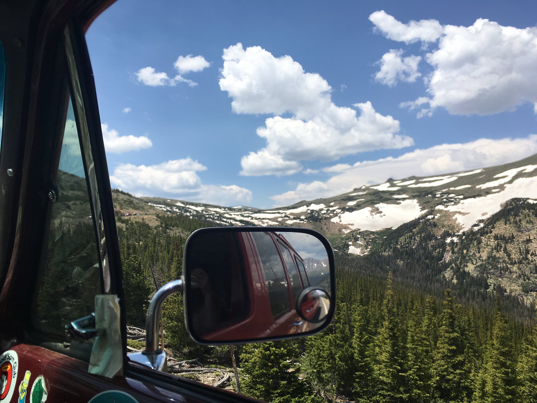
So, we threw up our hands and decided to go for a drive. First, we drove over RMNP via Fall River Road.
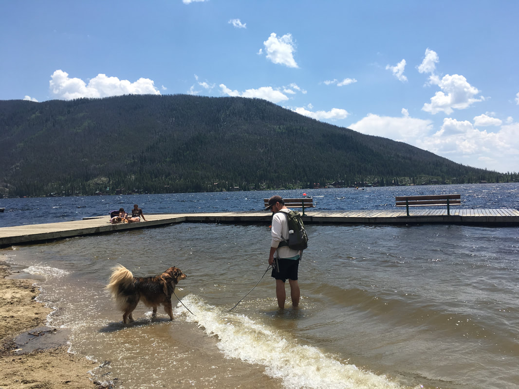
And we stopped at Lake Granby.
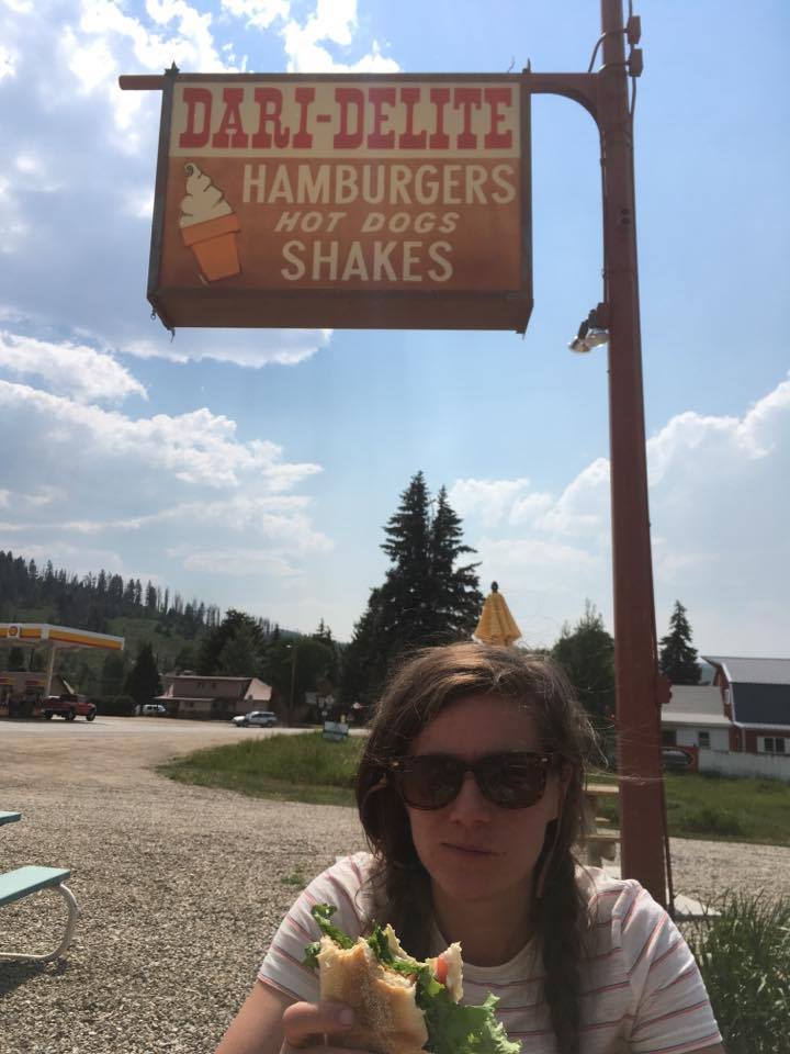
And drove to Hot Sulphur Springs where I ate this awesome roadside BLT.
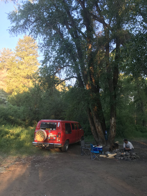
And found a free dispersed campsite in the Hot Sulphur Springs SWA a few miles up Highway 40 near Parshall.
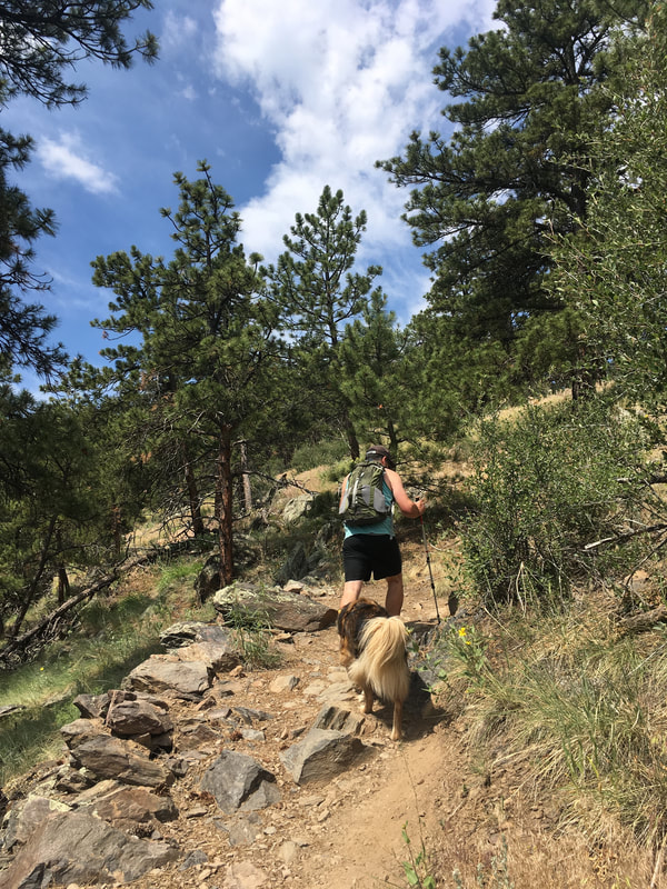
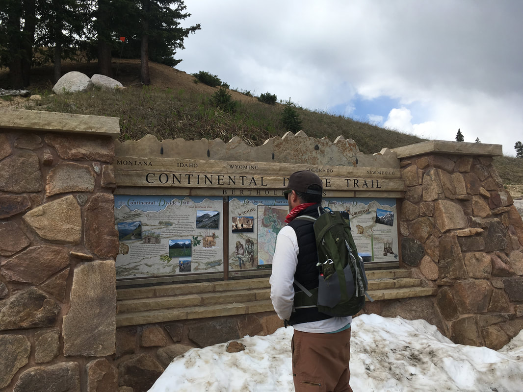
The next morning we decided to try one last hike before heading home. I checked my AllTrails app and found that we'd be passing the trailhead to Mt. Flora. Mt. Flora is a 13er that starts at Berthoud Pass along the Continental Divide Trail. The trail starts above 11,000 feet, is 6.5 miles roundtrip, and is rated as moderate.
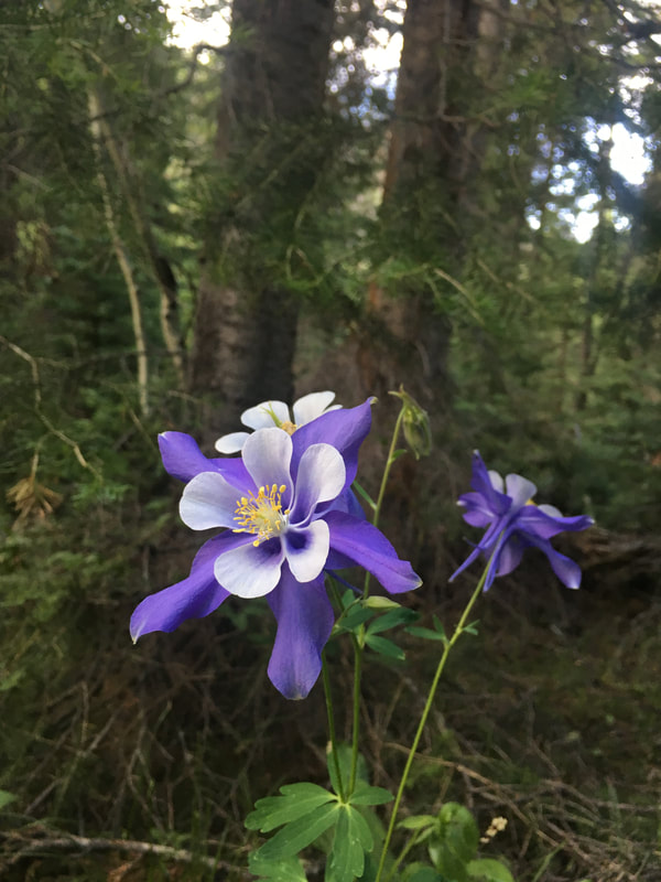
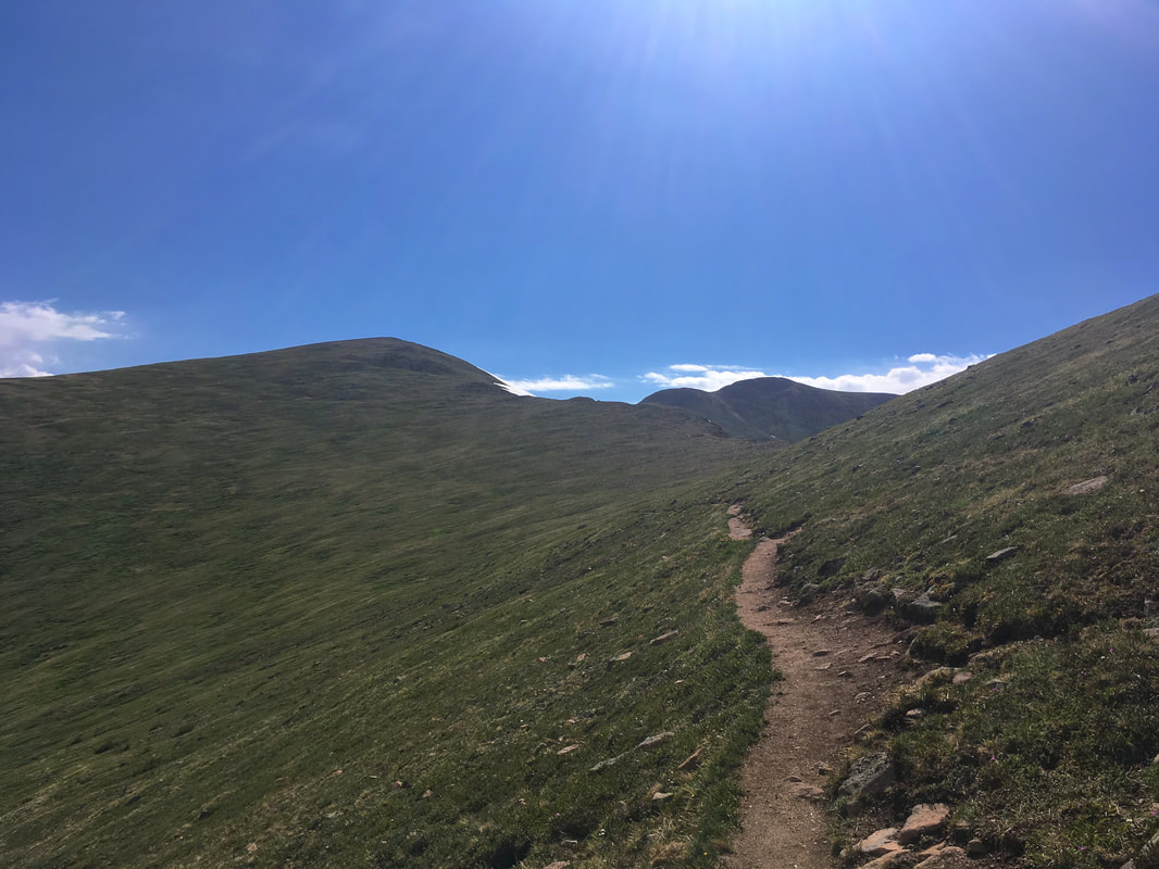
The incline was gentle and new wildflowers were popping up along the mountainsides, thriving in the mud left by the recent snowmelt.
But as we climbed, storm clouds started to pile up behind us. And as we reached the pass, less than a mile from the summit, it started to sleet. Now, any hiker who appreciates their own mortality knows they don't want to be the tallest target in a lightning storm and that at 13,000 feet the weather can change in an instant, for better or for worse.
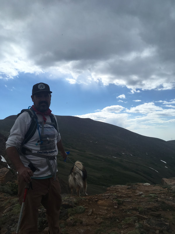
So we said farewell to the peak, the so so close peak, and headed back to the trailhead -- where the sun was shining bright and we headed home.
We learned two things this weekend: 1) We're happy to not be living on the overcrowded Front Range anymore and 2) when you spend half of the year camping and hiking, odds are your plans will be thwarted by elements out of your control, and you've gotta just roll with it.
We learned two things this weekend: 1) We're happy to not be living on the overcrowded Front Range anymore and 2) when you spend half of the year camping and hiking, odds are your plans will be thwarted by elements out of your control, and you've gotta just roll with it.
 | Angelica has a BA in English and worked as an editorial/web manager for a Denver-based education company before hitting the road. She grew up in Grand Junction, CO working at her grandparent's amusement park. One of her favorite things is trail running with her dog. |

 RSS Feed
