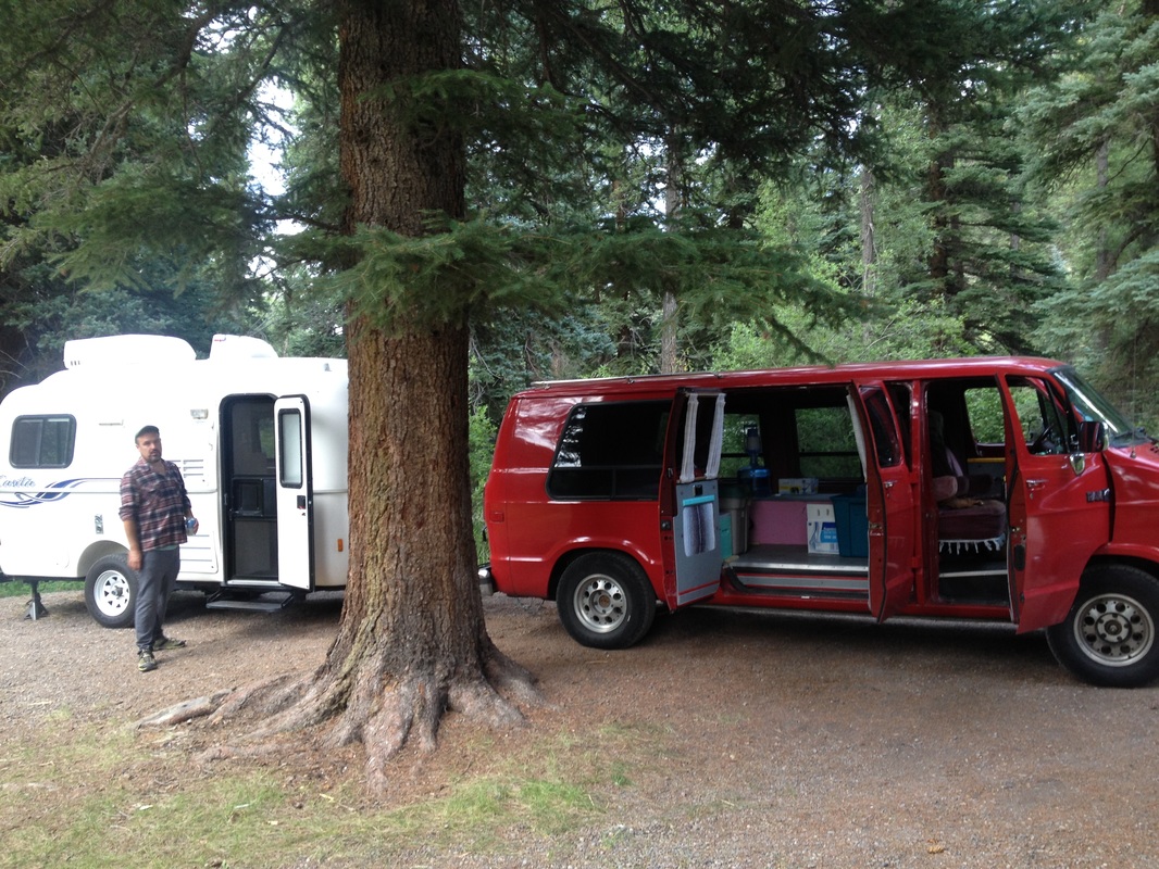
We headed to Green Mountain Scenic Byway and Trailhead on a 50 degree Sunday afternoon to run the Clay Island Trail Loop. When we got there, we were the only car in the parking lot. This was our first trip to Green Mountain, but seeing no or few cars at a trailhead - other than at state parks or national forests - has been the norm in our Florida experience this winter. In our home state of Colorado, we’re used to complaining about overcrowded trails and getting to the trailhead early enough to find a parking spot. So, while peaceful, being lone desert runners on a foreign swamp trail can be a little unnerving. Is there a reason no one’s here?!
I came prepared with a map of the Lake Apopka North Shore that I found on the St. Johns River Water Management District website. The trail systems under the District give people a unique look at Florida that is much different than the beaches and nightlife many associate with the state. Think swamp, lakes, and jungle. The District owns “tracts of land” that are crucial to protecting water resources and keeping land in its natural state, which protects land from floods as well as protects plants and animals. It also allows hikers, runners, bikers, and equestrians to use the dirt roads recreationally and for free, which we’ve taken advantage of in a few of their locations.
On the map below, the route we took starting at Green Mountain is circled in red and called "Proposed Future Trail."
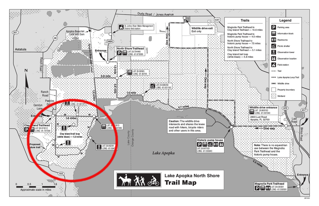
The trailhead map at the Green Mountain trailhead does not outline the Clay Island Trail Loop. I’ve marked Clay Island on the map in yellow below so you can see where you’ll go in relation to your starting point.


 RSS Feed
