The countdown to the end of summer is on, and that means it's almost time to pack up and move south for the winter. We've decided to return to Florida, where the highest elevation point is 345 feet above sea level, so we have a lot of hiking to get out of our systems.
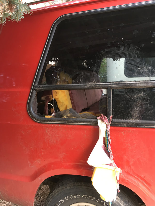
Before we time travel a few weeks back to cover the new spots we've explored, some exciting things happened this week. An opportunistic bear ate part of our seat through a cracked window... To each his own.
Before we time travel a few weeks back to cover the new spots we've explored, some exciting things happened this week. An opportunistic bear ate part of our seat through a cracked window... To each his own.
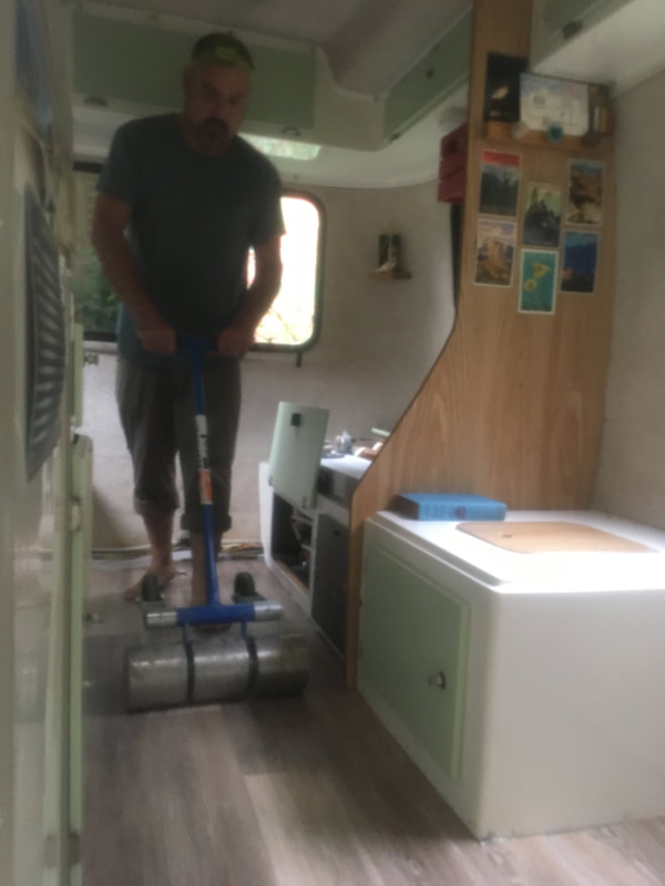
And we finally finished our floors in the trailer! Here's a sneak peek of our new floor and cabinets - more details to come.
Anyways, a few weeks ago, we must have been overcome by our impending departure date and came up with an ambitious plan to hike two strenuous trails two days in a row.
The first beast: Bison Peak.
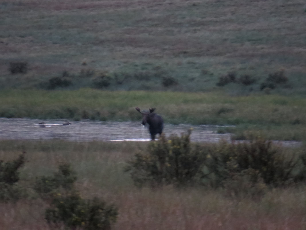
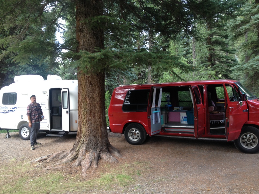
The beginning of the week had been stormy with thunderclouds rolling in by late morning. We wanted to get an early start to avoid the certain storm, so the night before our hike we got a head start and camped on Kenosha Pass after work. As we were pulling into the campsite off of Highway 285, we spotted a moose (and got a great deal of blurry pictures of it)!
The first beast: Bison Peak.
The beginning of the week had been stormy with thunderclouds rolling in by late morning. We wanted to get an early start to avoid the certain storm, so the night before our hike we got a head start and camped on Kenosha Pass after work. As we were pulling into the campsite off of Highway 285, we spotted a moose (and got a great deal of blurry pictures of it)!
We continued down to the dispersed camping area, and the moose did too. We lost him in the trees, but continued thinking about him as we setup camp in the dark.
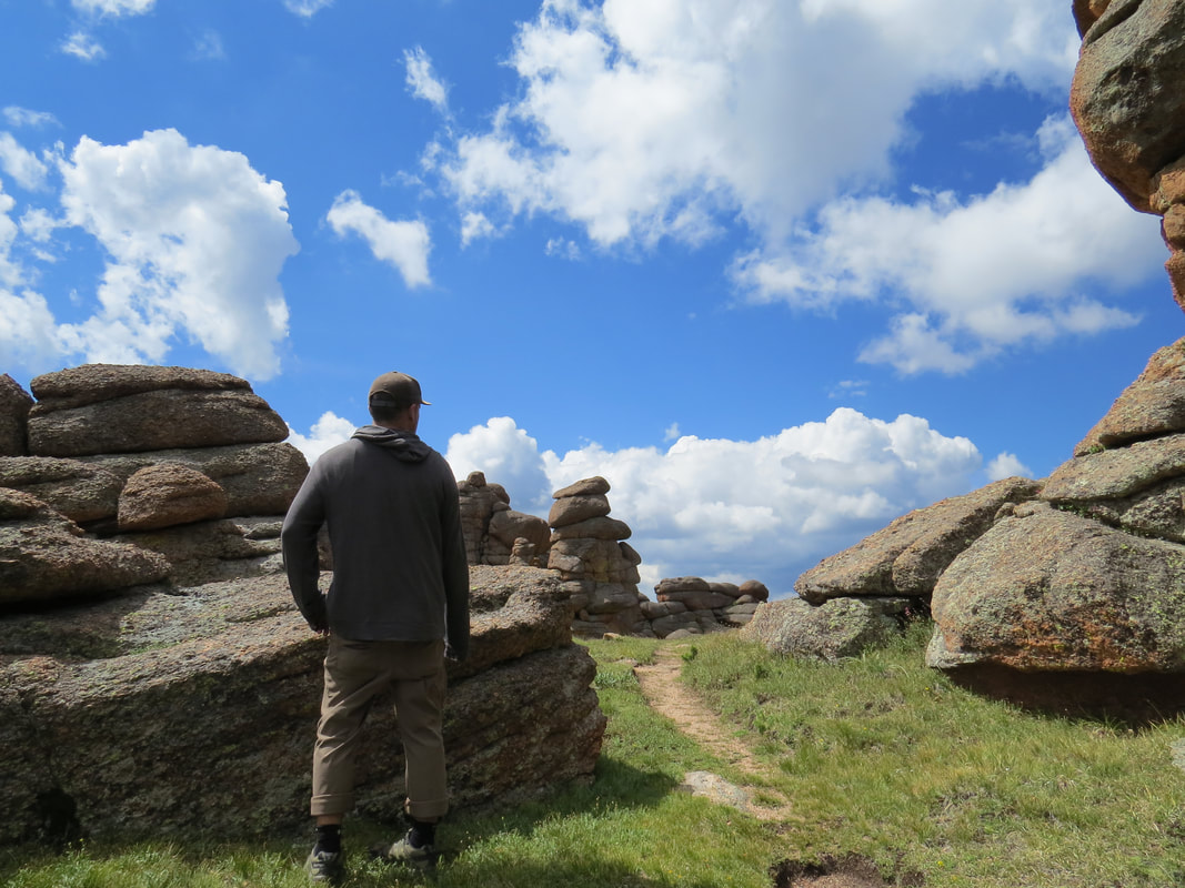
Early the next morning, we continued 25 miles to the Ute Creek Trailhead. I picked the hike out from our book Best Summit Hikes of Colorado, which has become a dear friend this summer. The author describes the summit's "magical" rock formations as otherworldly and an easy ascent for any hiker in "decent shape." A drastic difference from the trail reviews we read online that described the climb as "grueling." We headed out on the 11.27 mile trail assuming we were in decent shape and that the difficulty of the trail must fall somewhere in the middle.
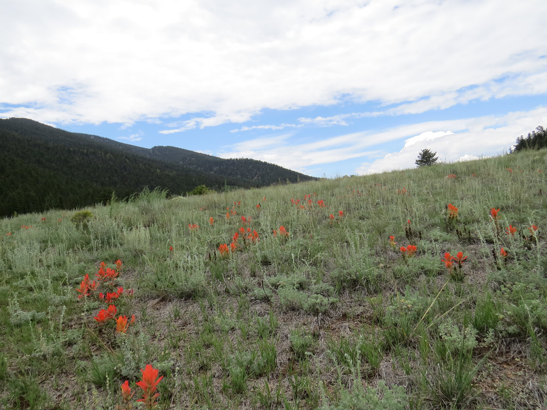
The first mile went through a relatively flat meadow with a scattering of Indian Paintbrush that glowed in the pale green brush like small flames. We hiked fast, knowing that we had some slow, steep miles ahead. The trail guide says that at 2.2 miles the trail will begin to climb "in earnest." And it did. The grade was so earnest, in fact, that some may even call it "grueling".
The first mile went through a relatively flat meadow with a scattering of Indian Paintbrush that glowed in the pale green brush like small flames. We hiked fast, knowing that we had some slow, steep miles ahead. The trail guide says that at 2.2 miles the trail will begin to climb "in earnest." And it did. The grade was so earnest, in fact, that some may even call it "grueling".
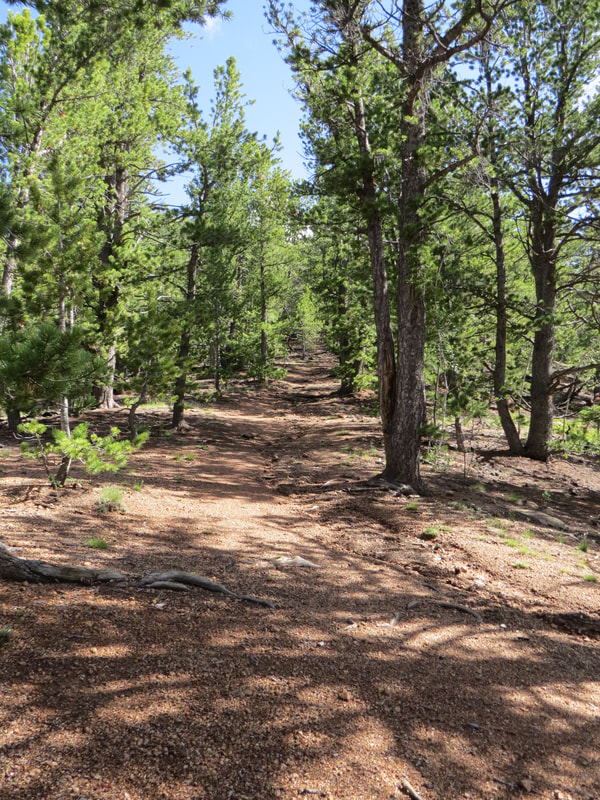
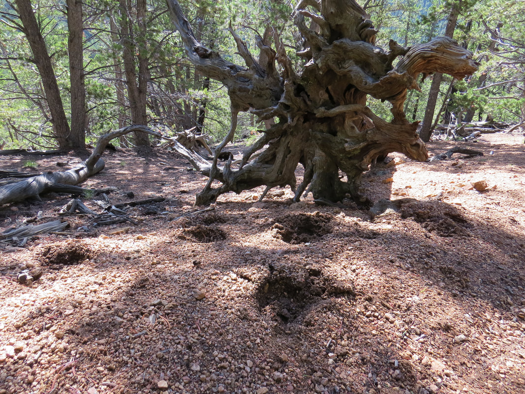
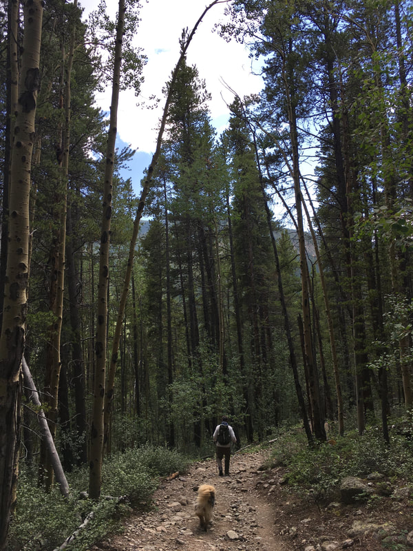
Unlike a lot of summit hikes where you can see your destination high up in the distance, we weren't entirely sure which mountain top we were headed to because the majority of the trail cut through dense forest with views of pines, pines, and more pines. We also saw a collection of fresh bear prints and were reminded of how we appeared to be the only hikers on the trail from the amount of cars in the parking lot. So, we used our first line of defense against the wildlife, and marched on singing loudly and clapping our hands up the hill.
Two and half hours later, and 4,000 feet in elevation gain, the trees started to thin and we saw the rounded top of one of the rock formations. We also got our first glance of the storm clouds that had begun to pile up around us. After one last push, we were at a clearing decorated with giant rock formations jutting out of the ground in shapes that seemed more likely to be found in the Utah desert than a high-alpine meadow.
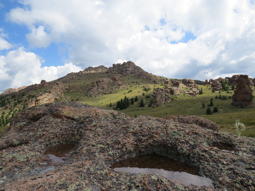
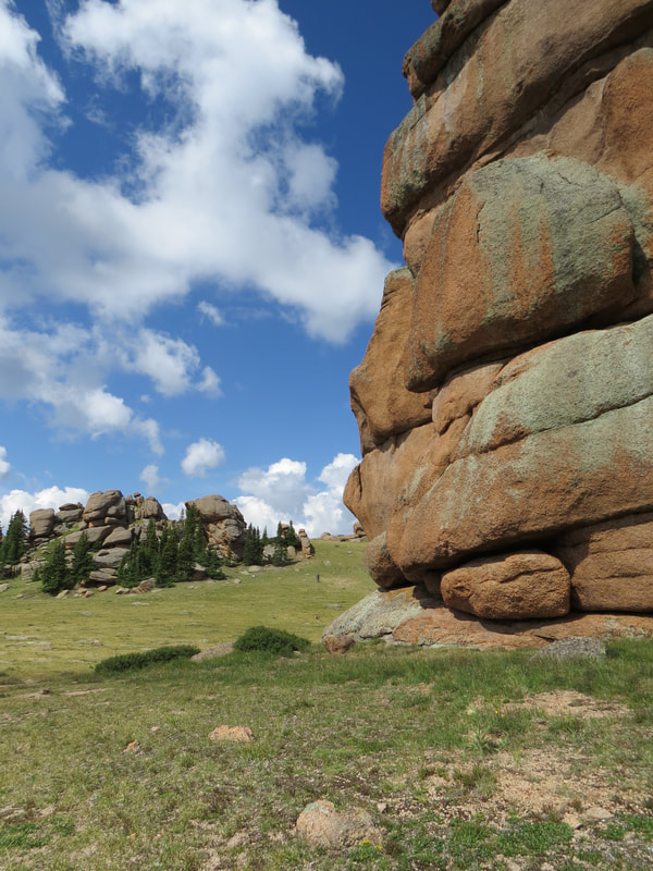
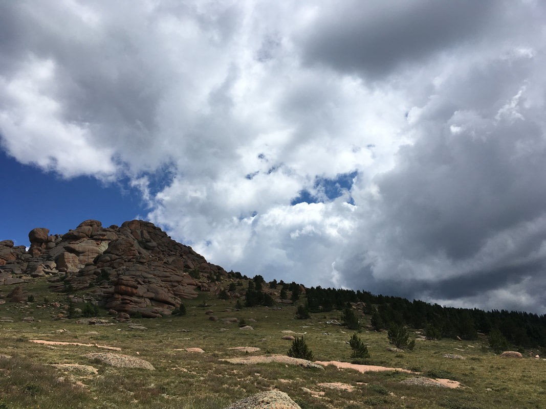
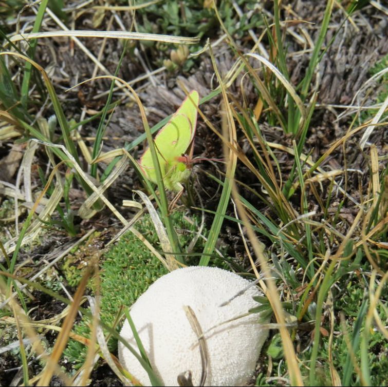
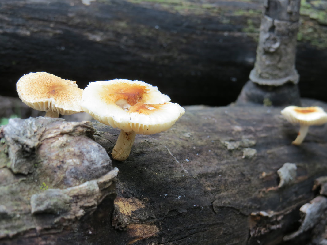
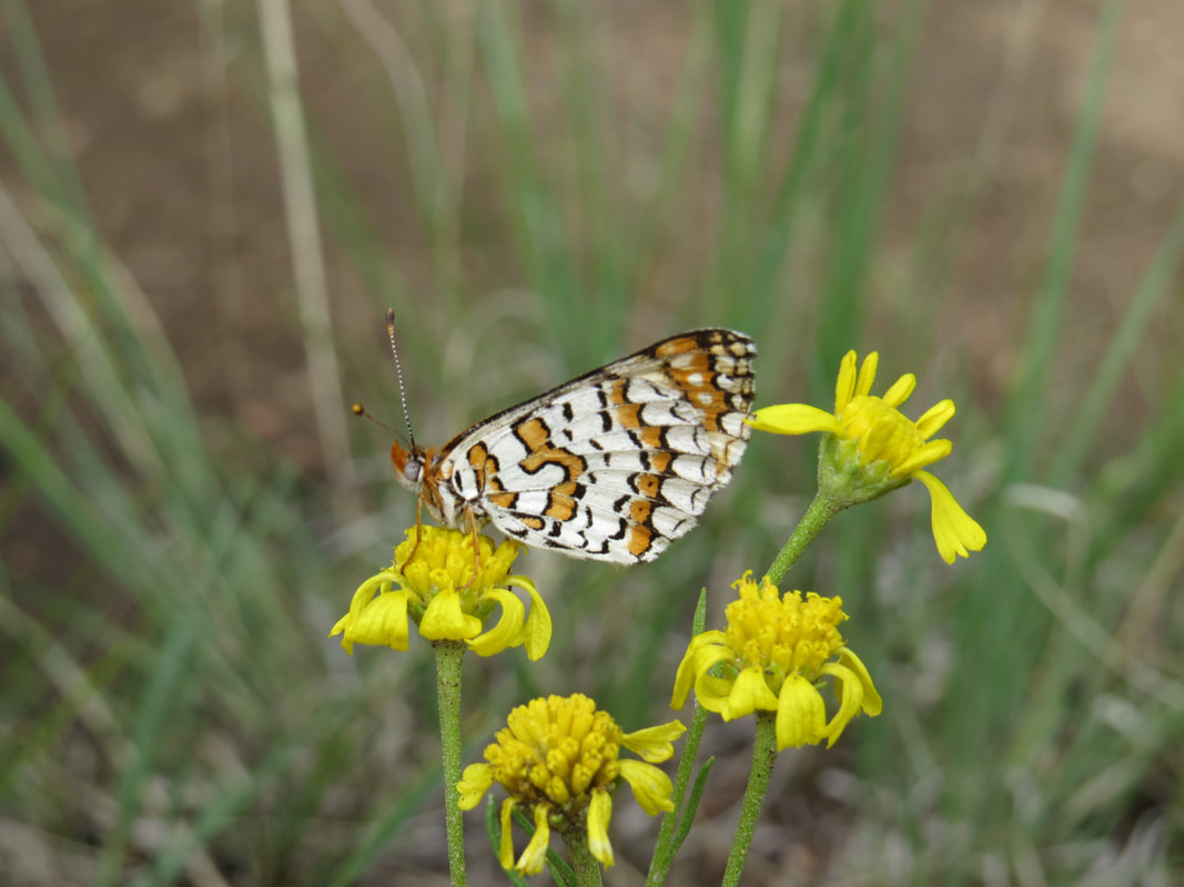
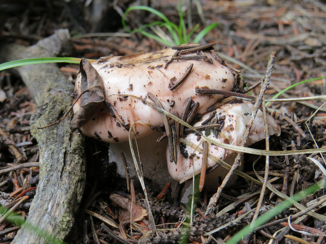
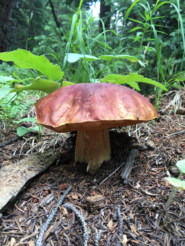
We hung out in the formations for a while and ultimately didn't like the looks of the clouds gathering over Bison Peak (see directly above), so we turned around and headed back about half a mile short of completing the trail. On the way down, our legs were tired and we were grateful for the mushrooms, butterflies, and wildflowers that gave us an excuse to pause.
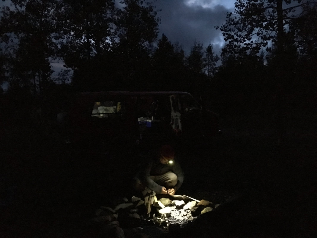
That afternoon, we drove to Buena Vista and camped in a dispersed camping area near the Denny Creek Trailhead. At camp we reviewed the trail route for Mount Yale in the book Colorado's Fourteeners. The author commented on the different routes to the peak, "No matter how you tackle Yale, the peak will test your legs." My legs stiffened at the thought and I considered keeping this bit of information to myself, so as not to lower morale.
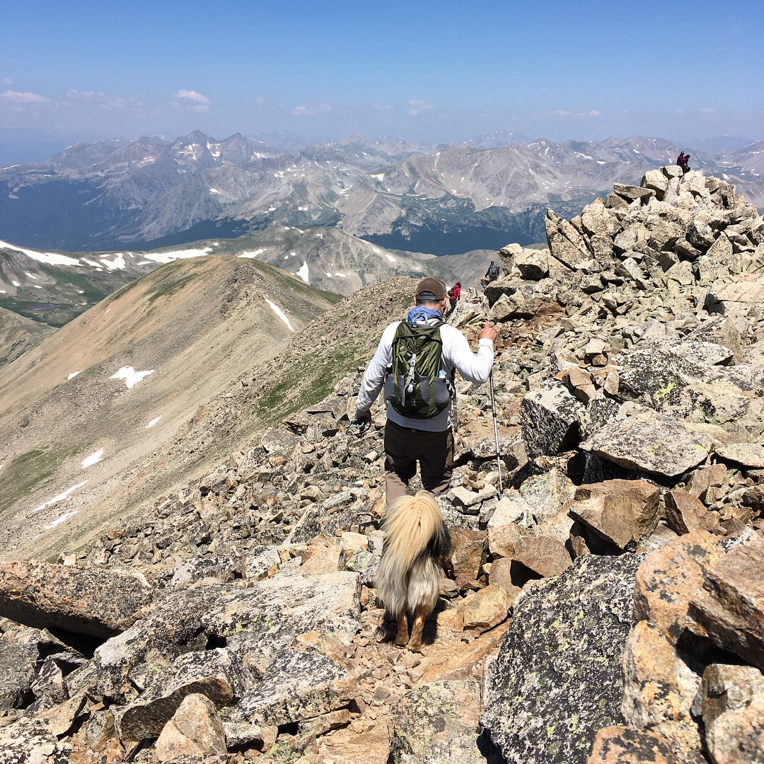
We set off early the next morning a little tired but determined. The weather was forecast to be clear until late afternoon, and when we hit the trail there wasn't a cloud in the sky. As long as we didn't collapse, we were going to bag this peak!
It was slow going, but we made decent time... and took a decent amount of breaks.
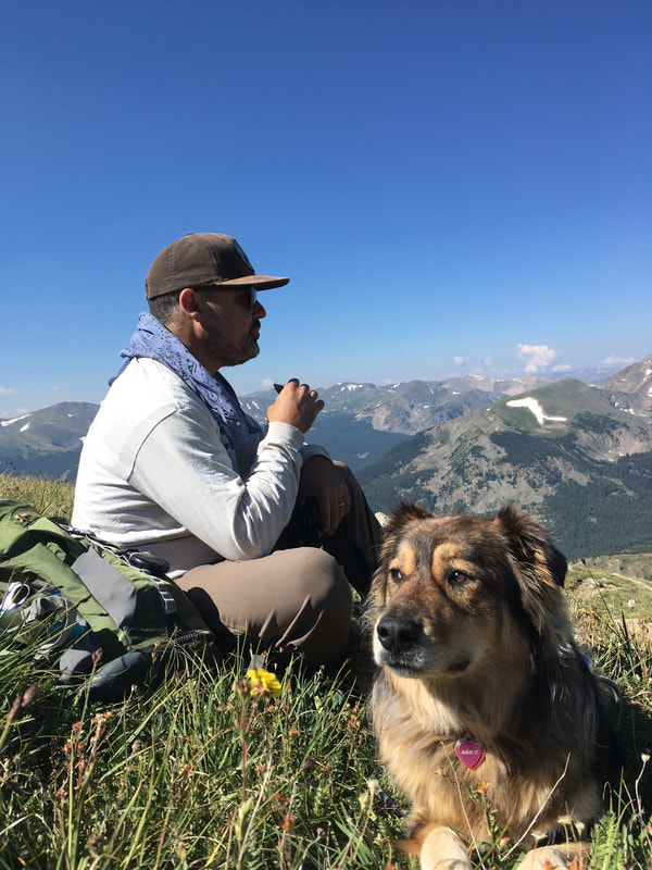
And before we knew it, we were four miles high in the sky and sitting at the summit!
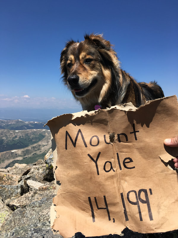
Which meant we had to turn around and hike four miles back.
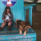 | Angelica has a BA in English and worked as an editorial/web manager for a Denver-based education company before hitting the road. She grew up in Grand Junction, CO working at her grandparent's amusement park. One of her favorite things is trail running with her dog. |

 RSS Feed
