We headed to Green Mountain Scenic Byway and Trailhead on a 50 degree Sunday afternoon to run the Clay Island Trail Loop. When we got there, we were the only car in the parking lot. This was our first trip to Green Mountain, but seeing no or few cars at a trailhead - other than at state parks or national forests - has been the norm in our Florida experience this winter. In our home state of Colorado, we’re used to complaining about overcrowded trails and getting to the trailhead early enough to find a parking spot. So, while peaceful, being lone desert runners on a foreign swamp trail can be a little unnerving. Is there a reason no one’s here?!
I came prepared with a map of the Lake Apopka North Shore that I found on the St. Johns River Water Management District website. The trail systems under the District give people a unique look at Florida that is much different than the beaches and nightlife many associate with the state. Think swamp, lakes, and jungle. The District owns “tracts of land” that are crucial to protecting water resources and keeping land in its natural state, which protects land from floods as well as protects plants and animals. It also allows hikers, runners, bikers, and equestrians to use the dirt roads recreationally and for free, which we’ve taken advantage of in a few of their locations.
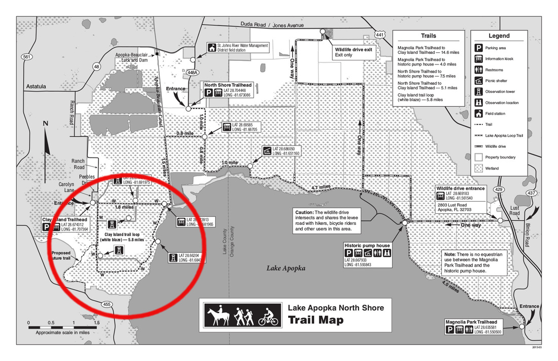
On the map below, the route we took starting at Green Mountain is circled in red and called "Proposed Future Trail."
I came prepared with a map of the Lake Apopka North Shore that I found on the St. Johns River Water Management District website. The trail systems under the District give people a unique look at Florida that is much different than the beaches and nightlife many associate with the state. Think swamp, lakes, and jungle. The District owns “tracts of land” that are crucial to protecting water resources and keeping land in its natural state, which protects land from floods as well as protects plants and animals. It also allows hikers, runners, bikers, and equestrians to use the dirt roads recreationally and for free, which we’ve taken advantage of in a few of their locations.
On the map below, the route we took starting at Green Mountain is circled in red and called "Proposed Future Trail."
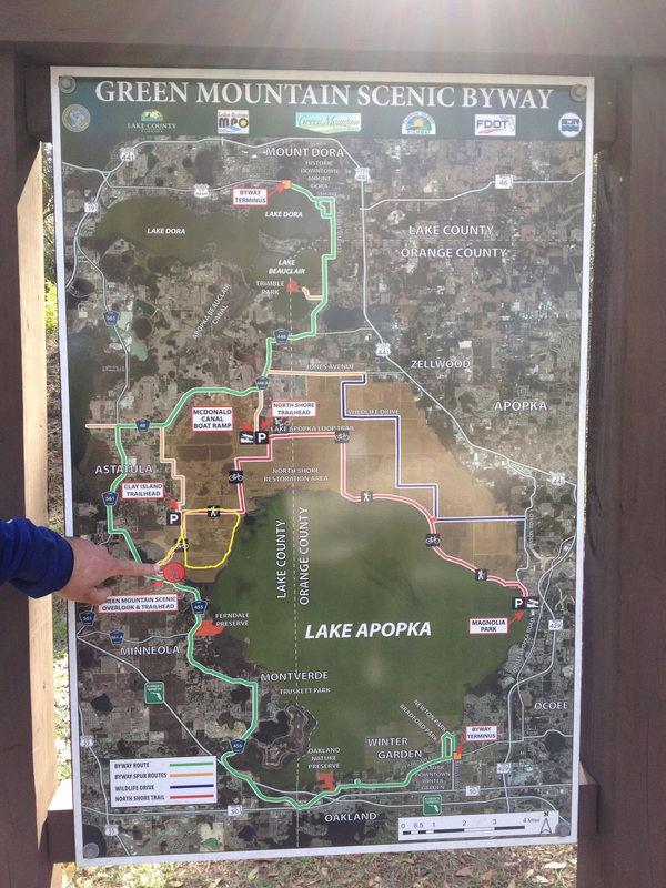
The trailhead map at the Green Mountain trailhead does not outline the Clay Island Trail Loop. I’ve marked Clay Island on the map in yellow below so you can see where you’ll go in relation to your starting point.
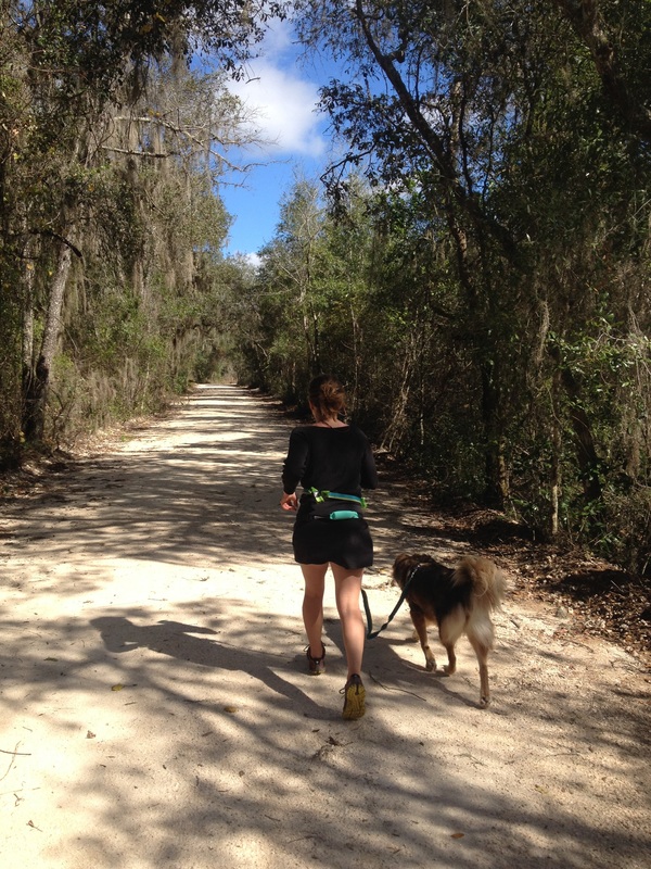
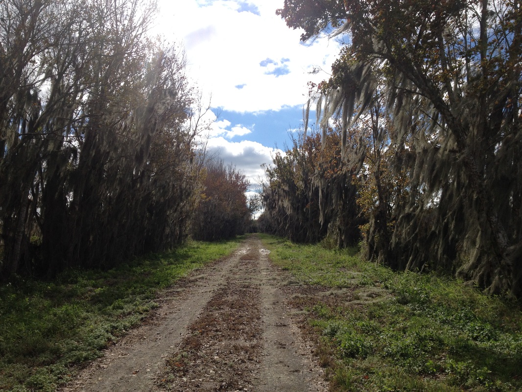
The first mile is nicely shaded. Annie is a furry animal and prone to getting overheated, but the trail was good to her.
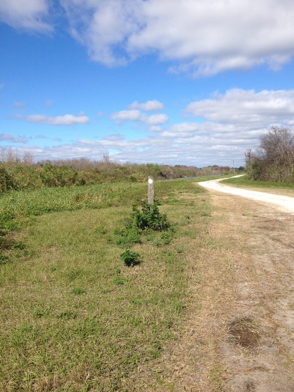
When we popped out at the end of the “Proposed Future Trail,” there was a canal. You have three options: Straight, left or right. If you go straight, you will be going off the Clay Island trail. Take a left or right, and you will be on the loop. Kenny and I chose to take a left and looked for white blazes. Most of the remaining trail loop was exposed, which was fine for us on this overcast and mild day, but could have been painful on a warmer day.
As you approach the end of the road, you’ll take a right when you see a bunch of water management equipment and pass through the fence. We didn’t run to the end of the road to confirm, but believe if you continued straight you would be at the Clay Island Trailhead.
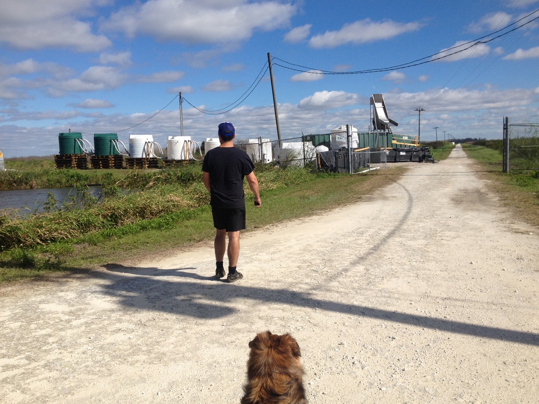
At the end of the road, you’ll take another right to stay on the loop and have some relief from the heat in another canopy.
After only seeing one other living being, it was refreshing to run into a structure showing signs of civilization. We took a break and climbed up the tower looking over Lake Apopka.
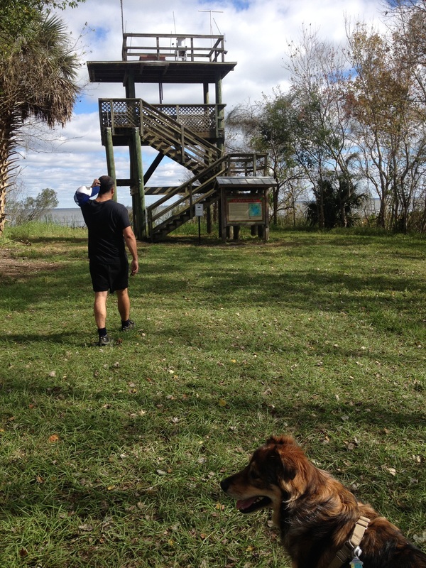
After the tower, we continued on the trail, running among Great Blue Herons, Anhingas, Turkey Vultures, and probably alligators.
When we got back to the “Proposed Future Trail,” we ran as much as we could and walked the last 3/4 miles, having not done a long run in too long. At the parking lot, there were a few more cars, but it was far from full.
All in all, I highly recommend this tranquil trail on an overcast and/or cool day.
TRAIL DETAILS
TRAILHEAD: Green Mountain Scenic Byway and Trailhead
LENGTH: 7.8 miles (approximately)
DOGS ALLOWED: Yes
BATHROOM AT TRAILHEAD: Yes
TRAIL USE: Hiking, biking, horseback riding
ACTIVITY: Low
COST: None
 | Angelica has a BA in English and worked as an editorial/web manager for a Denver-based education company before hitting the road. She grew up in Grand Junction, CO living next to and working at her grandparent's amusement park. One of her favorite things is trail running with her dog. |


 RSS Feed
